Evacuation when one route closes
Residents are requesting modeling to determine evacuation clearance times when one principal route is unavailable. What residents reported during past fires is not a measured community-wide clearance time.
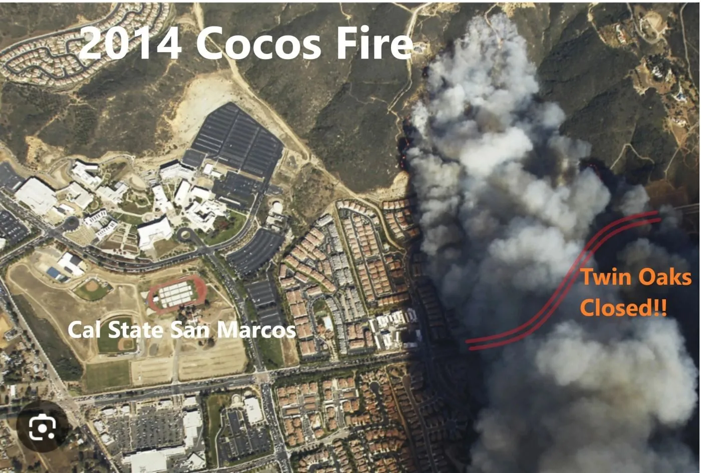
Both the 2007 and 2014 fires closed Twin Oaks
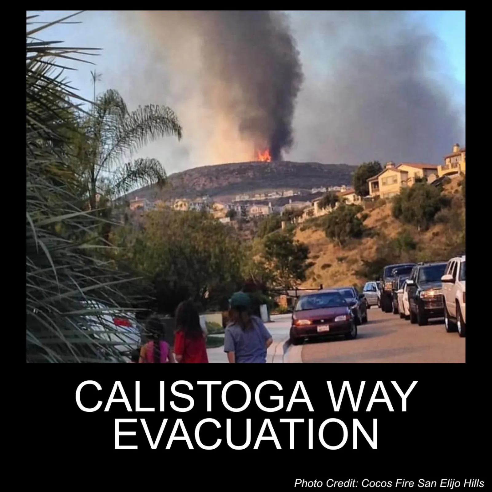
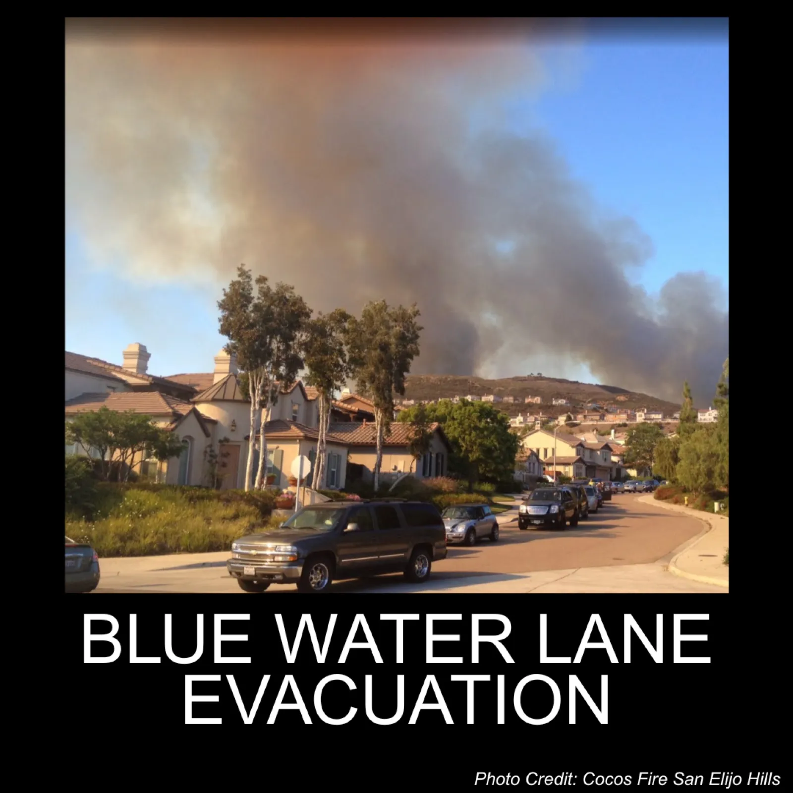
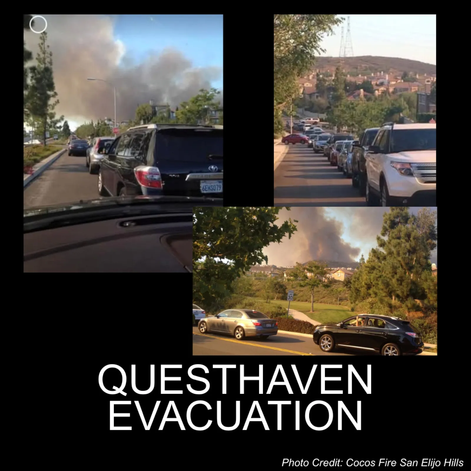
During each of these fires, the community evacuated through only one route, San Elijo Road west to Rancho Santa Fe Road, because Twin Oaks Valley Road was cut off by fire and embers as the fires approached. The 2014 Cocos Fire cut off Twin Oaks in less than an hour after the fire was first spotted, leaving little time to respond. Residents reported 3 or more hours to evacuate, with traffic backed up along San Elijo Road beyond Questhaven Road and along many of the connecting feeder roads. That figure is what residents experienced. It is not a measured clearance time for the whole community.
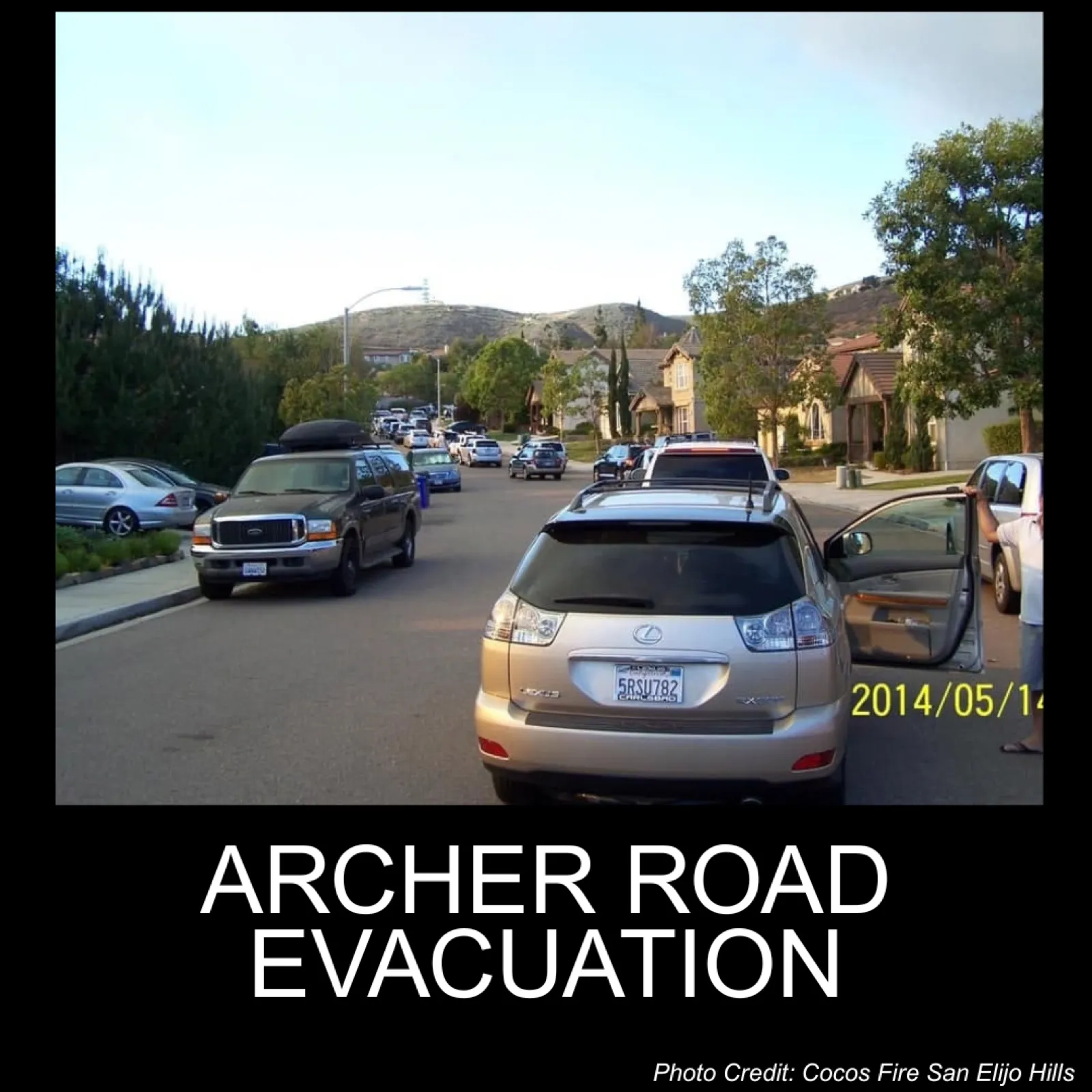
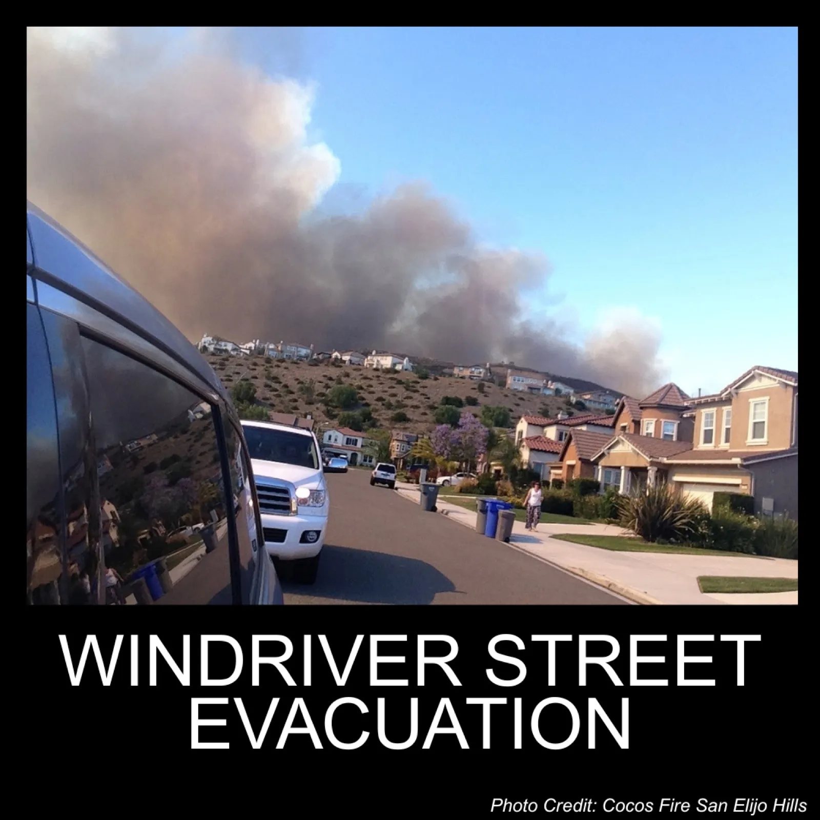
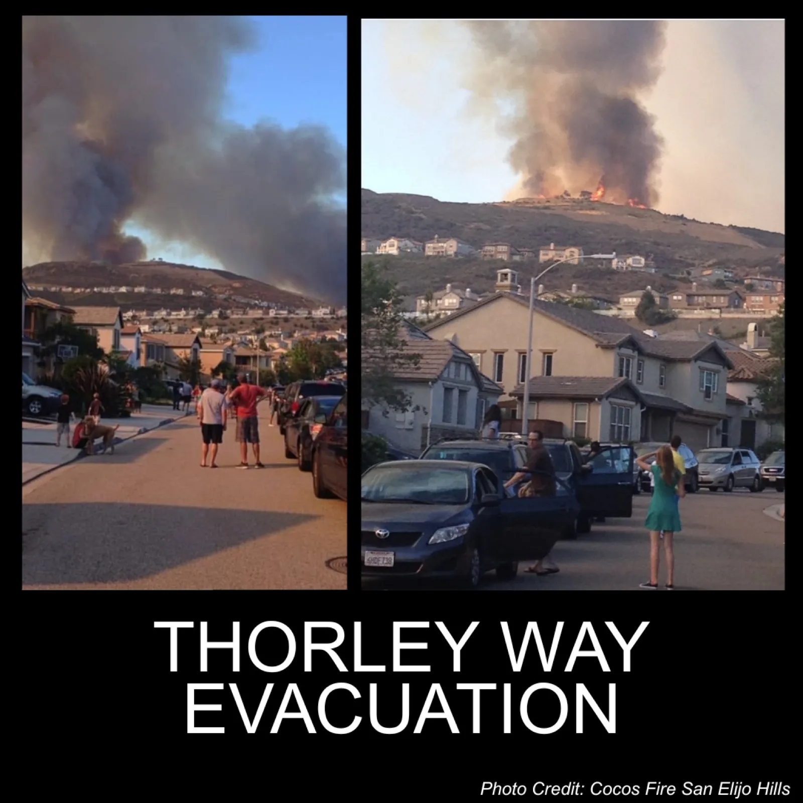
These streets were leaving at the same time
During the 2014 Cocos Fire, evacuation was underway at once on Archer Road, Windriver Street, Thorley Way, Calistoga Way, Blue Water Lane, and Questhaven. These cards were made from community photos. When Twin Oaks Valley Road closed, San Elijo Road west was the route those streets shared.
Coordination has improved. The roads have not.
Our city fire department and emergency responders have worked to improve evacuation coordination, including the Genasys system. Our local San Elijo Hills Fire Safe Council is helping the community prepare. San Elijo Hills Fire Safe Council. The physical limit of the roads remains. Residents are requesting modeling of clearance time when one of the main evacuation routes is cut off.
The ask: test more than one fire scenario
Evacuation analysis should test fires approaching from multiple directions, changing winds, and the loss of either principal route. Other local communities, including Carlsbad, have created detailed evacuation scenarios. San Elijo Hills is almost entirely in the Very High Fire Hazard Severity Zone, the highest designation. Fire history is part of the record. The 1996 Harmony Grove, 2007 Coronado Hills, and 2014 Cocos fires, and the 1988 and 1994 fires in Questhaven Hills, account for a large share of the fires that threatened or burned sections of San Elijo Hills over the past 40 years, and most of those came from the east or northeast. San Diego County fire history maps.
City Council appeal hearing: November 10
RSVP and we will send updates that help you prepare. The city posts the meeting time with the agenda.
RSVP for November 10